Travel Guide of Port Cygnet in Australia by Influencers and Travelers
The Port Cygnet Conservation Area is located in Cygnet, Tasmania, approximately 65 km southwest of the state's capital city, Hobart. The reserve has an area of 103 ha.
Download the Travel Map of Australia on Google Maps here
Pictures and Stories of Port Cygnet from Influencers
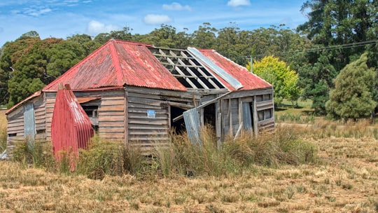
Picture from Graham Meyer who have traveled to Port Cygnet
Plan your trip in Port Cygnet with AI 🤖 🗺
Roadtrips.ai is a AI powered trip planner that you can use to generate a customized trip itinerary for any destination in Australia in just one clickJust write your activities preferences, budget and number of days travelling and our artificial intelligence will do the rest for you
👉 Use the AI Trip Planner
The Best Things to Do and Visit around Port Cygnet
Disover the best Instagram Spots around Port Cygnet here
1 - D'Entrecasteaux Channel
16 km away
The D'Entrecasteaux Channel is a body of water located between Bruny Island and the south-east of the mainland of Tasmania, Australia.
View on Google Maps Book this experience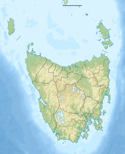
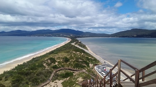
2 - The Neck Lookout
22 km away
Learn more
3 - Bruny Island
26 km away
Bruny Island is a 362-square-kilometre island located off the south-eastern coast of Tasmania, Australia. The island is separated from the Tasmanian mainland by the D'Entrecasteaux Channel, and its east coast lies within the Tasman Sea.
Learn more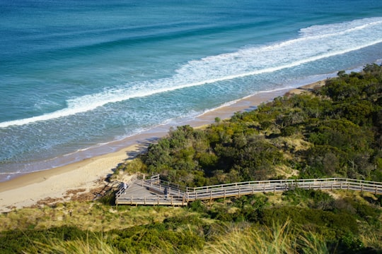
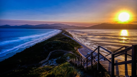
4 - Storm Bay
28 km away
The Storm Bay is a large bay in the south-east region of Tasmania, Australia. The bay is the river mouth to the Derwent River estuary and serves as the main port of Hobart, the capital city of Tasmania.
View on Google Maps Book this experience
5 - Iron Pot Lighthouse
29 km away
The Iron Pot Lighthouse is a lighthouse located on Iron Pot island in Storm Bay, at the mouth of the Derwent River in Hobart, Tasmania, Australia.
View on Google Maps Book this experience
6 - South Bruny
30 km away
The South Bruny National Park is a national park located on Bruny Island, Tasmania, Australia, about 50 kilometres south of Hobart. The park contains the Cape Bruny Lighthouse. The highest point of the park is Mount Bruny at 504 metres.
View on Google Maps Book this experience
7 - South Arm TAS
33 km away
South Arm is a rural residential locality in the local government area of Clarence in the Hobart region of Tasmania. The locality is about 32 kilometres south-east of the town of Rosny Park.
Learn more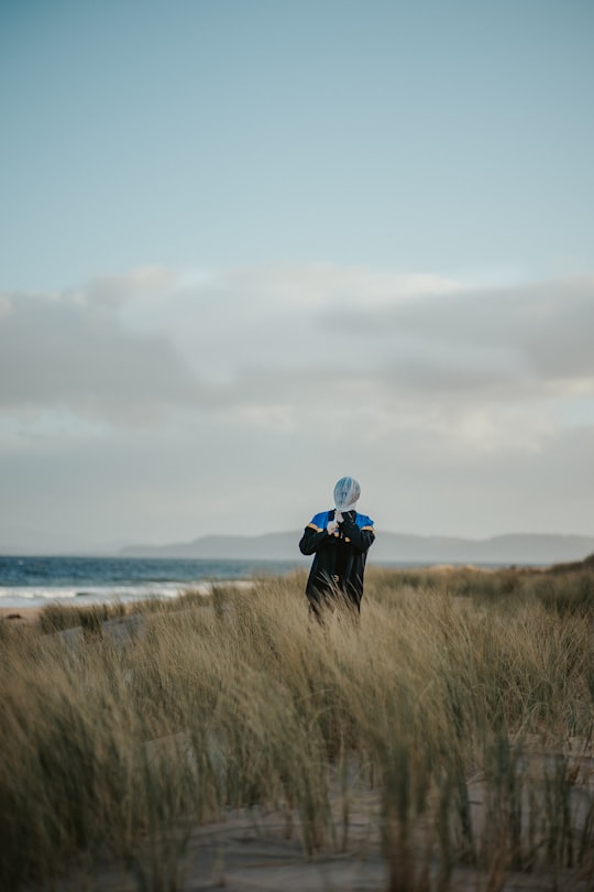
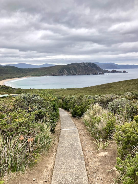
8 - Bruny Island Lighthouse
33 km away
Learn more
9 - Mount Wellington
36 km away
Mount Wellington is a mountain in the southeast of Tasmania, Australia. It is the summit of the Wellington Range and is within Wellington Park reserve. Hobart, Tasmania's capital city, is located at the foot of the mountain.
Learn more Book this experience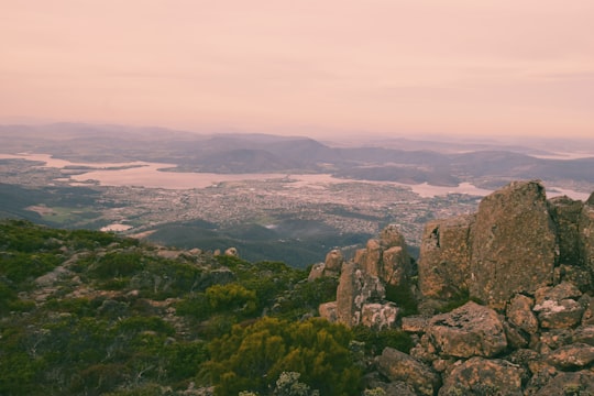
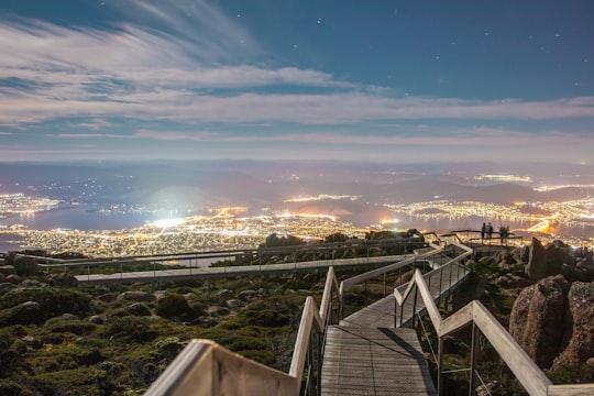
10 - The Pinnacle
36 km away
Learn more
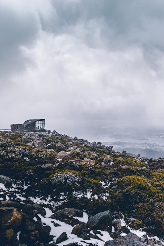
11 - Hobart TAS
40 km away
Hobart is the capital and most populous city of the Australian island state of Tasmania. Home to almost half of all Tasmanians, it is the least populated Australian state capital city, and second smallest if territories are taken into account, after Darwin, Northern Territory.
Learn more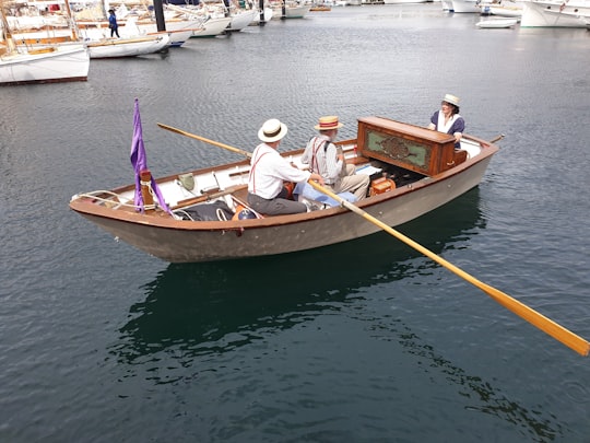
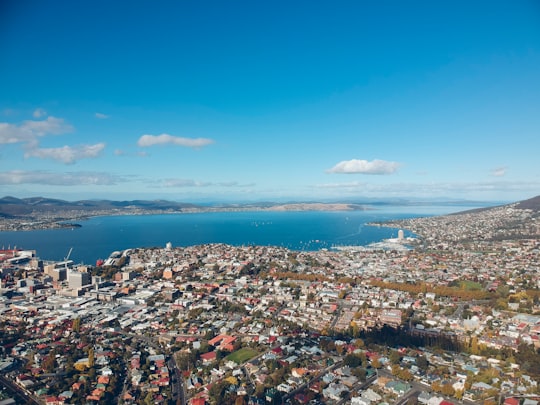
12 - Constitution Dock Bridge
40 km away
Constitution Dock is the harbour-side dock area of Hobart, the capital city of the Australian state of Tasmania, in the Port of Hobart, on the Derwent River.
Learn more Book this experience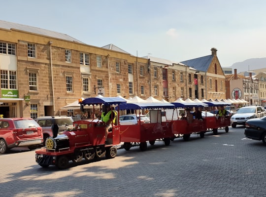
13 - Rosny Park
44 km away
Rosny Park is a suburb of Hobart, Tasmania, located in the City of Clarence on the eastern shore of the Derwent River. It is about five kilometres from the city centre of Hobart. Rosny Park is the commercial twin of its residential namesake, Rosny.
Learn more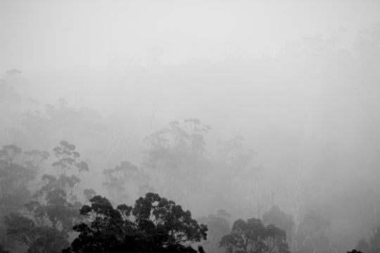
14 - Lutana TAS
44 km away
Lutana is a suburb of Hobart, Tasmania, Australia. It is part of the City of Glenorchy. It is a large residential suburb located between the Brooker Highway and the River Derwent.
Learn more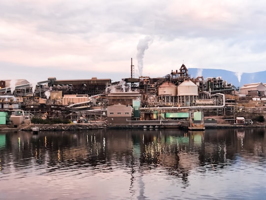
15 - New Norfolk TAS
46 km away
New Norfolk is a town on the River Derwent, in the south-east of Tasmania, Australia. At the 2011 census, New Norfolk had a population of 5,543.
Learn more
16 - Cockle Creek
46 km away
Cockle Creek is the farthest point south one can drive in Australia. It is located on Recherche Bay on the edge of the Southwest National Park, part of the Tasmanian Wilderness World Heritage Area.
Learn more Book this experience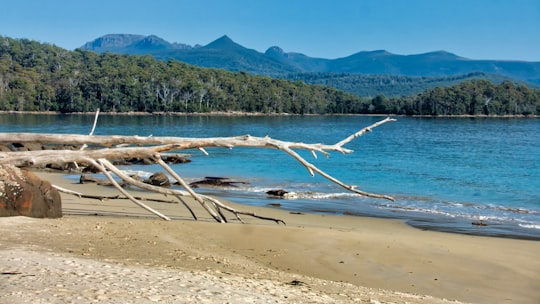
17 - Cambridge TAS
50 km away
Cambridge is a suburb in the greater area of Hobart, capital of Tasmania, Australia. It is in the City of Clarence local government area.
Learn more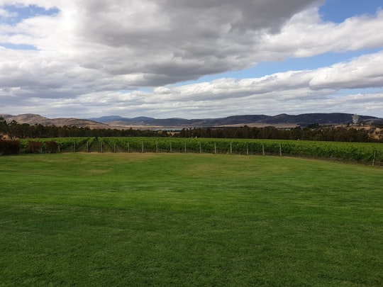
Book Tours and Activities in Port Cygnet
Discover the best tours and activities around Port Cygnet, Australia and book your travel experience today with our booking partners
Where to Stay near Port Cygnet
Discover the best hotels around Port Cygnet, Australia and book your stay today with our booking partner booking.com
More Travel spots to explore around Port Cygnet
Click on the pictures to learn more about the places and to get directions
Discover more travel spots to explore around Port Cygnet
Hut spotsTravel map of Port Cygnet
Explore popular touristic places around Port Cygnet
Download On Google Maps 🗺️📲
